Weather is an integral part of our daily lives, shaping our choices from clothing to travel and even architectural designs. We hear about degrees Fahrenheit, inches of rain, or miles per hour of wind, but do we really understand their implications? This discussion embarks on an enlightening journey exploring the units of measurements used in weather forecasts. It delves into the concepts of temperature, precipitation, atmospheric pressure, and wind speed, illuminating not only their roles in weather conditions but also how they form the backbone of accurate weather prediction.
Temperature Measurements
Deciphering Temperature Units: The Vital Tools of Weather Forecasting
Temperature plays a pivotal role in the study of meteorology, acting as a fundamental parameter in weather prediction models. The precision of weather forecasts hinges on the accurate interpretation and communication of temperature measurements. These are presented to the public through distinct units of measurement: Fahrenheit, Celsius and Kelvin.
Temperature readings transmitted in Fahrenheit form the backbone of weather forecasts in the United States. Divided into 180 degrees between the freezing (32°F) and boiling (212°F) points of water, the Fahrenheit scale allows meteorologists to deliver detailed and practical weather data, suitably fine-tuned for everyday activities and health advisories.
Outside of the United States, Celsius is the predominant unit of measurement, used by both professional forecasters and the general public. The Celsius scale, also known as centigrade, encompasses 100 degrees between freezing (0°C) and boiling (100°C) points of water at sea level pressure, thereby providing a simplified and intuitive basis for weather interpretation. In meteorology, this uniform scale allows for more efficient international cooperation with respect to weather forecasting and climate change studies.
Yet, in the grand theater of atmospheric science, Kelvin reigns supreme. While less prevalent in day-to-day forecasts or climate discussions, Kelvin remains the standard metric for scientific research within the thermodynamics field. It boasts zero at absolute zero (approximately -273.15°C or -459.67°F), the point at which all molecular motion ceases. Hence, scientists support its use as it inherently avoids negative temperature values, thereby simplifying the calculations involved in predicting weather patterns.
To administer effective weather communication, meteorologists optimize the use of these temperature units based on location and purpose. In simpler terms, Fahrenheit often guides your daily decision on whether a coat is necessary in U.S. cities, Celsius relays whether beachgoers in Spain should brace for a scorcher, and Kelvin assists researchers in modelling complex weather systems.
In conclusion, the units of temperature – Fahrenheit, Celsius, and Kelvin – each have specific applications in the realm of weather forecasts. Their correct use and interpretation make possible the accurate prediction of weather patterns, ensuring public safety and furthering scientific understanding of our starkly beautiful and ever-volatile atmosphere.

Precipitation Units
Measuring precipitation, a quintessential aspect of weather forecasts, necessitates a comprehensive understanding of diverse meteorological methods. It is a complex task taken very seriously by meteorologists and atmospheric scientists. Cognizant of the impact accurate predictions can have on both societal functions and individual planning, they strive for perfection.
Quantifying rainfall hinges on the use of rain gauges. These simple, yet effective devices capture rain in a graduated cylinder. The volume of water collected corresponds to the amount of precipitation, typically expressed in inches or millimeters. However, rain gauge placements are critical to obtaining accurate data, as obstacles such as trees or buildings may interfere with the natural rainfall.
Another essential component of precipitation measurement is the weather radar, which illuminates a whole new dimension to measurement – spatial awareness. This technology sends out a signal that bounces back after hitting a raindrop, thereby determining the location and intensity of the rainfall. From this, meteorologists extrapolate a representation of the precipitation over a given territory. This radar technology proves crucial especially during torrential rains, hurricanes, and other severe weather events.
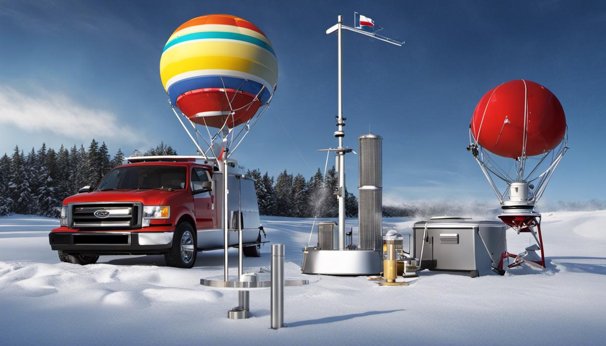
Weather balloons, or radiosondes, are also used to monitor atmospheric conditions. With an instrument package attached to a hydrogen or helium-filled balloon, they ascend through the atmosphere recording data on temperature, humidity, and pressure. While not directly measuring precipitation, this data is integral for predicting it.
Snowfall measurement necessitates a more nuanced approach, as it involves a factor not pertinent to rain: the density of snowflakes. A ‘snow ruler’ is used in conjunction with a snow board to measure the depth of new snowfall. This is regularly cleared to avoid compression affecting the measurement. The snow is then melted to determine its equivalent water content, completing the data set.
Satellites, as well, play a significant role in precipitation measurement. They scan the Earth’s atmosphere for thermal radiation. The technology can estimate changes in atmospheric water vapor, and by extension, precipitation rates. This crucial data contributes to weather prediction models on a global scale.
Even with the impressive array of techniques for measuring precipitation, it is essential to note that this field of study is not without its challenges. These devices, largely reliant on correct installation and regular maintenance, can at times fall prey to errors, proving to be a constant battleground for meteorologists and researchers. However, the evolution of technology and ongoing scientific research fosters optimism for even more precise and efficient methods in the future. All these impressive advancements underscore the passion, dedication, and understanding that underpin the epic endeavor of weather forecasting.

Atmospheric Pressure Units
Diving further into the world of atmospheric data and meteorology, we encounter another critical area of focus—the quantification of atmospheric pressure in myriad weather forecasts worldwide. The units of atmospheric pressure play an instrumental role in assembling and interpreting these predictive models.
At the core of the broad spectrum of atmospheric pressure units is the ‘pascal’ (Pa). It holds a prominent position as the standard International System of Units (SI) measure for pressure. Named after the French polymath Blaise Pascal, this unit signifies the force per unit area exerted by the weight of the atmosphere.
However, meteorologists often default to a more specialized version of the pascal for their forecasts— the ‘hectopascal’ (hPa). Just as a meter comprises a hundred centimeters, a hectopascal consists of a hundred pascals. Being of the same magnitude as the standard atmosphere, widely in use till the mid-20th century, the hPa offers a familiar and intuitive sense of atmospheric pressure patterns.
The ‘Millibar’ (mb) is another similar unit occasionally employed, especially in zones tracking tropical cyclones. Analogous to the hPa, one millibar embodies 100 pascals, and the units are hence often utilized interchangeably in weather prediction parlance.
Delving into the realm of aviation weather tracking, we encounter one of the oldest units, ‘inches of mercury’ (inHg). It is derived from the early method of pressure measurement using mercury barometers, where the atmospheric pressure was read off as the height in inches to which the mercury column was raised. Despite a shift towards SI units, inHg remains extensively used in the United States for aviation weather forecasts.
These conventional units, however, do not always paint the comprehensive picture. Thus, meteorologists regularly employ equivalent sea-level pressure readings to factor in elevation changes. By comparing the observed atmospheric pressure to what it would be at sea level, data can be standardized, thereby allowing more accurate comparisons and predictions.
In the tapestry of meteorology, the diligent measurement and interpretation of atmospheric pressure through these units are indispensable in forecasting weather. It provides insights into the movements and transformations of air masses, the creation of wind, and the generation of weather phenomena as ordinary as the daily variations in temperature and as dramatic as cyclones. Furthering our understanding of these units and their applications can only enhance our ability to categorize, predict, and weather the storms of the future.

Wind Speed and Direction
In the manifold complexities of meteorology, one of the cardinal factors that dictate the weather narrative is wind—its speed and direction. These convey an immense bulk of information about forthcoming weather conditions, permitting governments, businesses, and individuals to proactively adapt to predicted changes. To better understand this phenomenon, one needs a deep dive into the dynamic universe of atmospheric science—more specifically, how are wind speed and direction represented in weather forecasts?
At a fundamental level, wind is driven by variations in air pressure within the Earth’s atmosphere. In essence, wind is air moving from a high-pressure area to a low-pressure area. The faster the air is moving, the higher the wind speed. Conversely, wind direction is determined by the course from which the wind originates.
Uncomplicated though it seems, measuring wind speed and direction engages a wide variation of tools and units. An anemometer is one such instrument—a device often envisaged as a set of cups rotating on a spindle. The more swiftly these cups spin, the stronger the perceived wind speed. These devices primarily furnish measurements in either kilometers per hour (km/h) or miles per hour (mph), depending on regional standards. For scientists who demand more precise measurements, meters per second (m/s) stands as the preferred unit.
As for wind direction, it is almost always denoted with reference to the cardinal directions—north, south, east, west—and their intermediates. For instance, a “northerly” wind indicates the wind originates from the north and flows towards the south.
In weather forecasts, wind speed and direction are both strategically integrated into what are called weather maps or synoptic charts. Wind speed, represented by wind barbs or feathers, on these charts, with each full feather representing 10 knots of wind and each half-feather equivalent to 5 knots. The direction, meanwhile, is indicated by the placement of the barb on the map—pointing from the direction the wind is coming from.
Complex computer simulations, better known as Numerical Weather Prediction models, are key in forecasting wind behaviors. These models use equations that consider the changes in pressure, temperature, and moisture in the atmosphere to generate predictions. They are crucial in predicting the wind’s impact on weather conditions, also enabling forecasts for phenomena such as cyclones or tornadoes.
In conclusion, the wind is not merely a gentle or fierce breeze but a phenomenon that orchestrates an enormous portion of our weather systems. Its speed and direction are mandate elements in any weather forecast, providing crucial data to prepare for, prevent, or plant according to impending weather changes. In the broad chessboard of meteorology, wind speed and direction are but two of the many pieces at play, yet their roles are pivotal, their impact far-reaching, and their study, nothing short of a mesmerizing intellectual quest.

Devising accurate weather forecasts hinges on a thorough understanding of the units of measurement involved and the dynamics they represent. Knowledge on how Fahrenheit degrees reflect heat, the significance of inches of rain or snow, the subtle indications of inches of mercury, and the hinting clues of wind speed and direction play an instrumental role in decoding the ever-changing weather patterns. Recognizing these subtle patterns paves the way to more accurate forecasts, and therefore, better preparation for whatever mother nature has in store for us.
